Knowing exactly how tall trees are across every major forest on Earth is harder than it sounds. Satellites can photograph forest canopy, but turning 2D images into accurate height measurements has historically required expensive lidar equipment or labor-intensive field surveys. Meta's AI lab and the World Resources Institute just released a model that does it from satellite imagery alone.
Canopy Height Maps v2 (CHMv2) is an open source model that estimates tree heights from satellite data at global scale. The v2 release improves on an earlier version, delivering better resolution and accuracy across diverse forest types - from the Amazon to boreal forests in Canada and Russia.
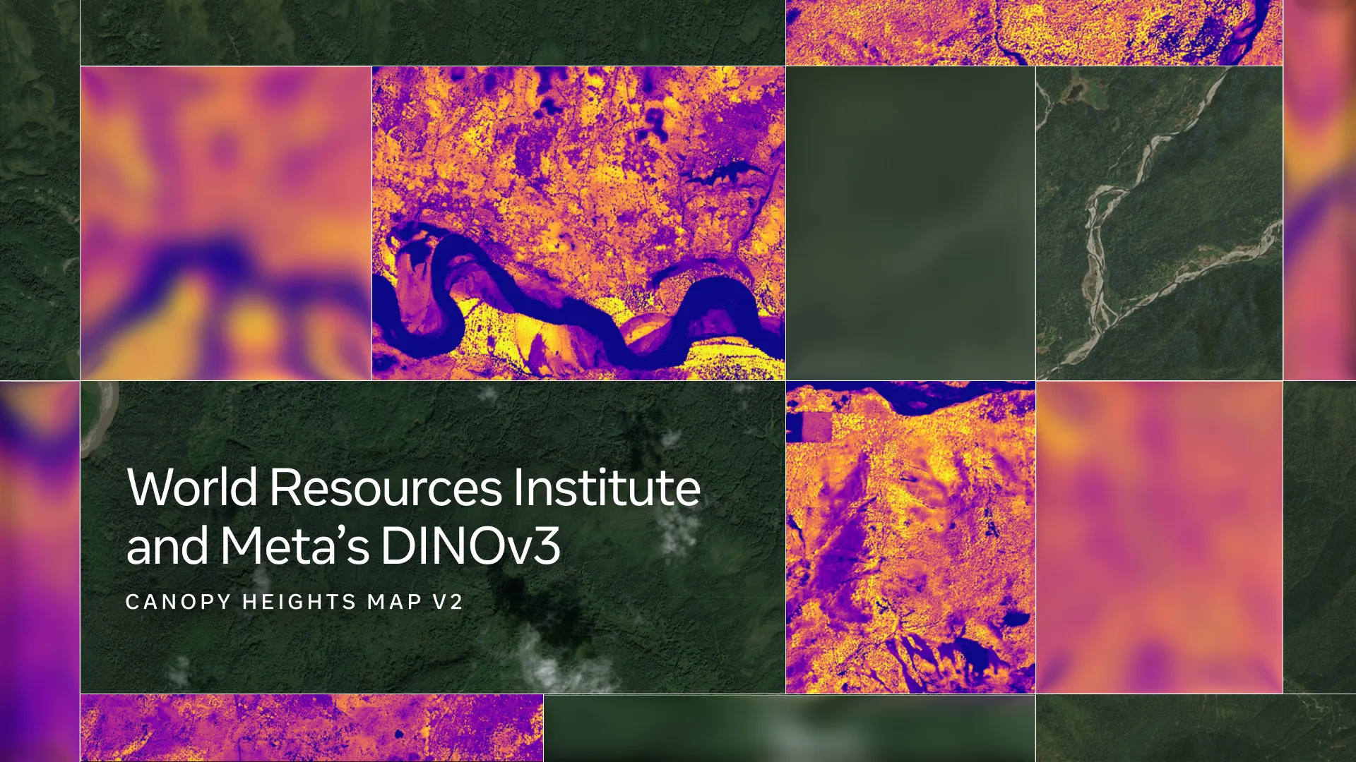
What the Model Actually Does
CHMv2 runs on top of DINOv2, Meta's self-supervised visual representation model. Self-supervised means the model learned from unlabeled images rather than needing humans to manually tag millions of training examples. The model takes satellite imagery as input and outputs a height estimate for each pixel - essentially a topographical map of tree canopy measured in meters, at global scale.
Meta said in its announcement that the partnership with the World Resources Institute ensures the resulting maps and the underlying model are publicly available for conservation and policy work, not just academic research.
The Gap This Actually Fills
Forest carbon accounting is the most immediate practical use case. Carbon credits for forest preservation depend on knowing how much carbon is stored in standing trees, which correlates closely with height and biomass. Inaccurate height data means inaccurate carbon estimates - a well-documented problem with voluntary carbon markets over the past few years.
Deforestation monitoring is the other major application. Existing satellite systems can detect where forests disappear, but CHMv2 adds the ability to track how much biomass is lost per clearing event, not just the footprint.
The open source release is the part that matters most for adoption. Previous global canopy height datasets were either proprietary or built on lidar data that covers roughly 1-2% of Earth's forested area. A model that works globally from widely available satellite imagery removes a significant cost barrier for researchers and conservation NGOs that don't have large data budgets.
Meta and Google's research groups have both been active in this space, and several university teams have published comparable models. CHMv2's combination of DINOv2's visual features and global training scope puts it among the more capable publicly available options for anyone doing serious forest monitoring work.